Theses for students


The professorships Seismics and Potential Methods, Prof. Dr. Gerald Gabriel, and Geoelectrics and Electromagnetics, Prof. Dr. Mike Müller-Petke, were set up jointly by the LIAG Institute for Applied Geophysics (Hanover) and Leibniz University Hannover. Their working group deals with the predominantly non-destructive exploration of the geological underground. Geophysical methods are based on measurement principles taken from experimental physics, but utilise the different physical properties of the rocks including their pore filling. In contrast to general geophysics, which is more concerned with basic research, this working group focusses on the use and further development of classic geophysical exploration methods.
Research subject and approach
The scientific questions addressed by the working group focus on the subsurface that can be utilised and influenced by humans. As the group is led exclusively by S-Professors appointed jointly with the LIAG Institute for Applied Geophysics (Hanover), the methodological and substantive work is closely linked to the objectives of LIAG. At the same time, there are many synergies with the research interests of the other departments at the Institute of Earth System Sciences, such as geology, soil science and mineralogy. Close links are also maintained with geodesy.
The geophysical methods used in the working group include almost all classic geophysical exploration methods: reflection seismics, georadar, gravimetry, magnetics, geoelectrics and also electromagnetic methods. This ensures that geological systems can be mapped and, if necessary, monitored integrative and across scales.
Neotectonics

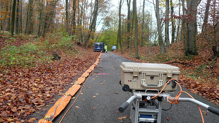

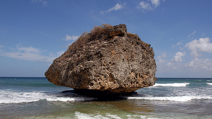
Neotectonics refers to tectonic processes that have taken place since the last significant change in the Earth's stress field. Active geological faults are an important object of research and understanding them is essential for assessing seismic hazards and for the sustainable management of underground space (e.g. georeservoirs, storage, final disposal). Faults can be investigated on the basis of outcrops and morphological phenomena on the Earth's surface. In order to obtain as complete a picture as possible of their structural and physical properties, the faults must also be investigated at greater depths using geophysical methods. This becomes even more important if they do not reach the Earth's surface or if no usable outcrops exist.
Therefore, combined geological and geophysical investigations are carried out in order to better understand faults / fault systems. For many years, the work has been focussed on northern Germany, a region that has long been considered aseismic and is also affected by post-glacial equalisation processes as a result of the melting of the Fennoscandian ice masses. The gaps in our knowledge are correspondingly large. Further co-operation between geology and geophysics is taking place in northern Denmark and New Zealand. There, structures are better exposed or processes take place more quickly, so that important basic knowledge can be developed, which can then also be transferred to northern Germany.
Geohazards


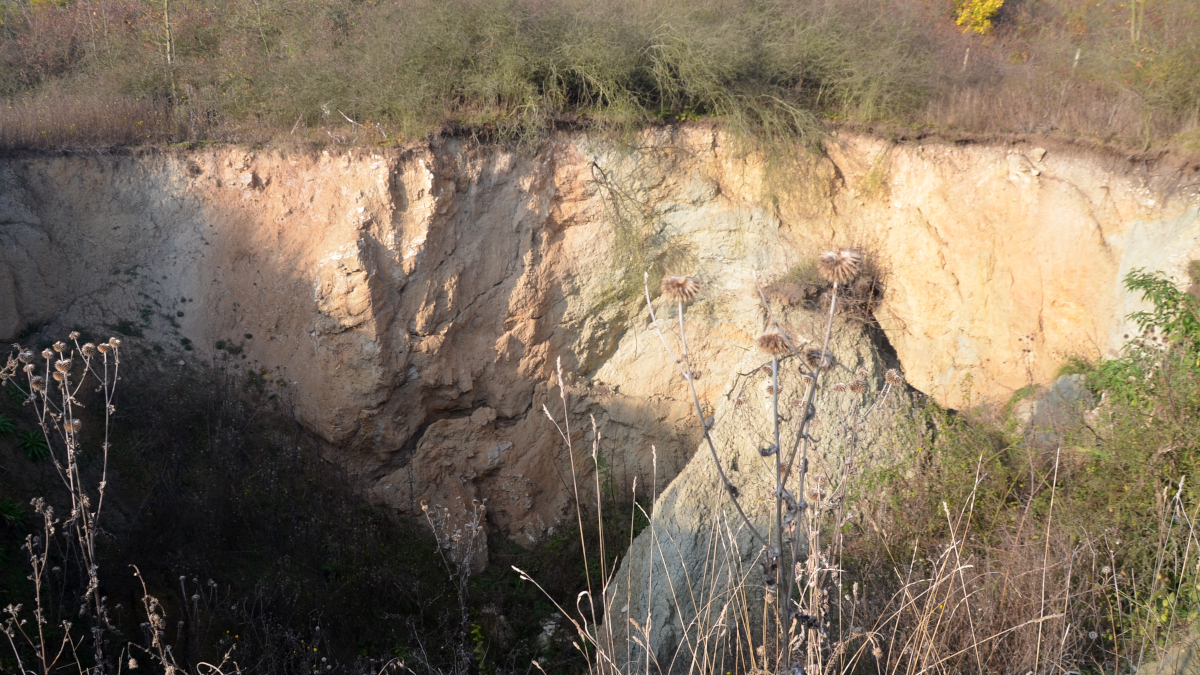
Geological hazards are processes that lead to changes on the Earth's surface that pose a risk to infrastructure or even human life. They are associated with mass movements and surface deformations, which often have their cause in the geological underground. The long-term goal is therefore to better understand the controlling geological structures, monitor processes and develop forecasts based on our knowledge. In this subject area, geophysical exploration methods, especially reflection seismics, are combined with methods that allow the monitoring of mass movements, i.e. gravimetric measurement methods. Co-operation with geodetic working groups enables the observation of deformation processes.
Groundwater systems and soils
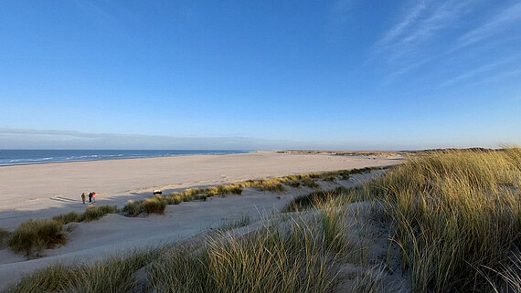


In the topics of groundwater and soil, we particularly investigate coastal systems. The aim of the investigations and the associated further development of geophysical methods is both the characterisation of the subsurface in terms of its hydraulic properties and the monitoring of bio-geochemical processes. A particular focus is on coastal and inland salinisation. In the field of soils, new methods are being developed to analyse soil moisture over large areas, for example to investigate peat bodies and permafrost.
Head of group
Prof. Dr. Mike Müller-Petke


